LINZ Geodetic Marks -
Geodetic Marks allows you locate geodetic marks while you’re out on the field.
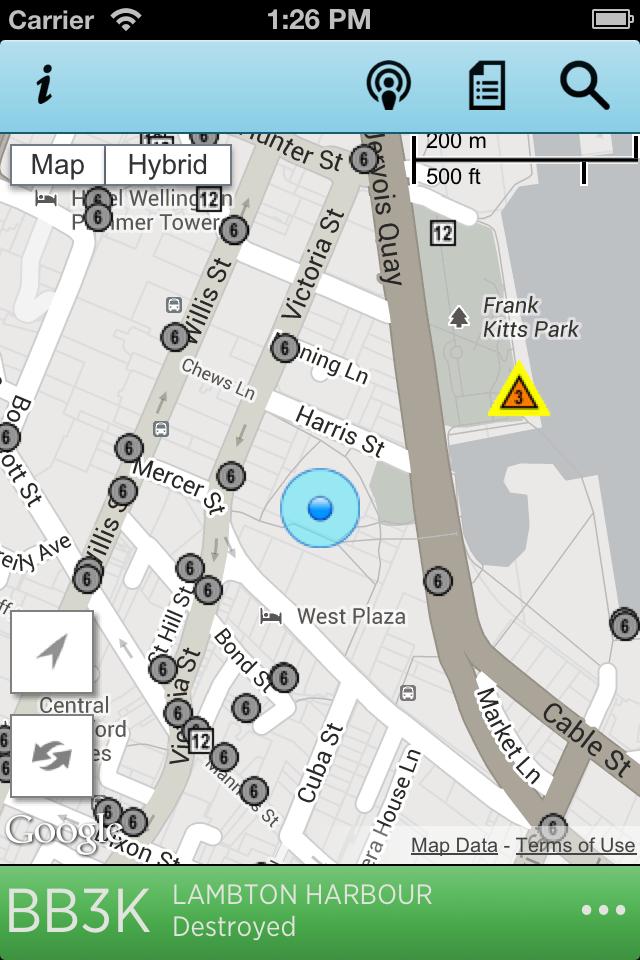
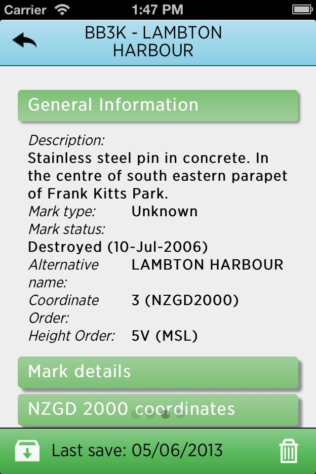
LINZ Geodetic Marks allows you use the LINZ Geodetic database to locate nearby geodetic marks – while you’re out on the field.
You can use the application to
• Locate nearby geodetic marks using the LINZ Geodetic database by name or through a Google maps interface
• Navigate to a selected mark
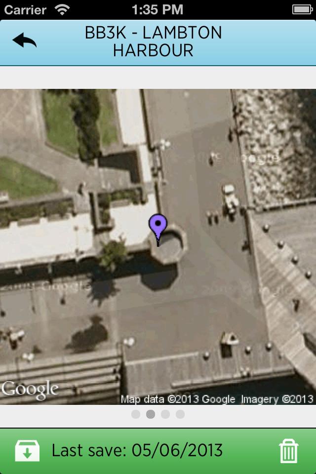
• View photographs of the mark
• View a maintenance history
• Save marks for viewing and navigating offline
You can view find out more about the National Geodetic Office ( http://www.linz.govt.nz/geodetic ) and LINZ on the LINZ website ( http://www.linz.govt.nz ).