Cuerda Larga 3D Map -
Virtual Map of Sierra de Guadarrama
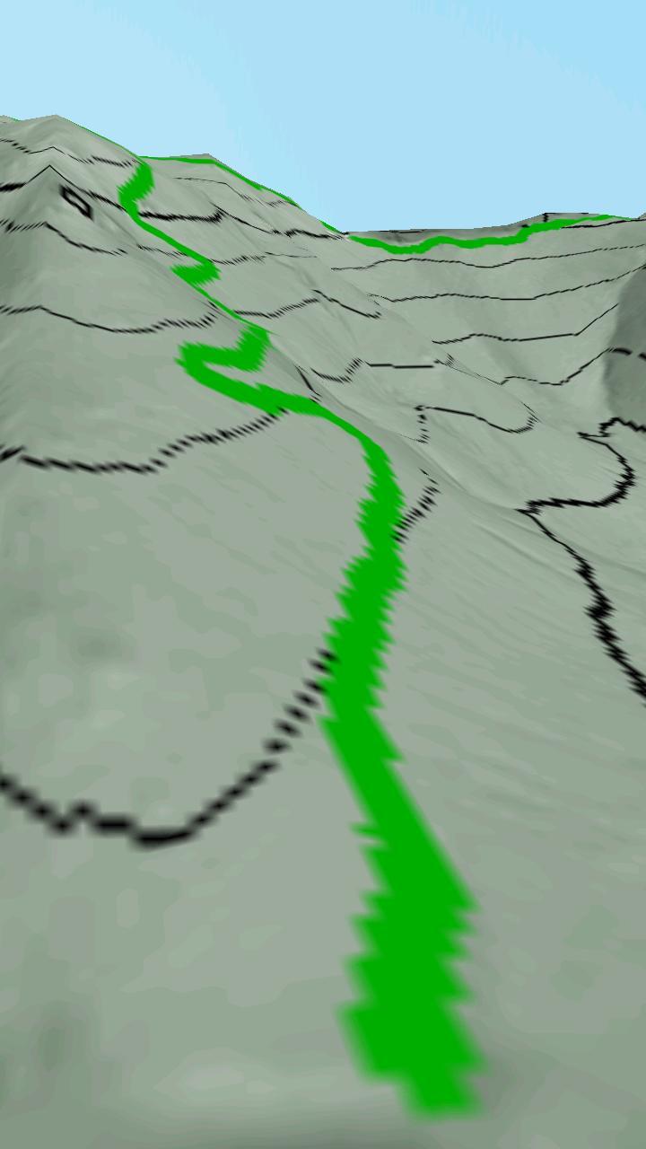
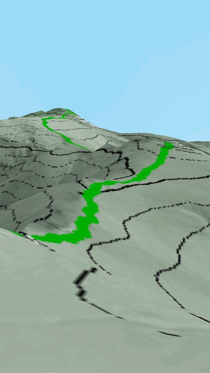
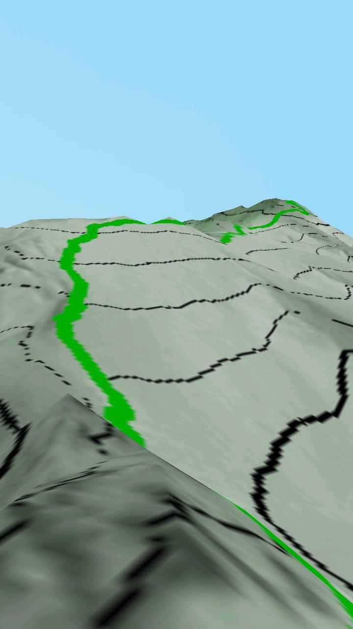
Cuerda Larga 3D Map is a very detailed virtual map of 10 kilometers high by 20 km wide in which much of the Sierra de Madrid is represented, from the port of Navacerrada to the port of La Morcuera.
On the map you will see level curves with a separation with each other 20 meters of altitude. In addition, the protected areas of the Regional Park of the High Basin of Manzanares and the Pedriza de Manzanares and Blue, north of Valdemartín, the Valdesquí ski station, appear remarkable in green.
At the beginning of the map you will be in the port of Navacerrada, the route of the long rope is marked with a green line, follow it to the port of La Morcuera or PIÉRDE yourself around its surroundings, visit the peak of the malicious or take a walk through the Pedriza.
If you want to contribute to this 3D map or for anything, doubts or suggestions, contact me:
Juan García Carmona
You can also follow me through my personal blog:
http://juan-garcia-carmona.blogspot.com